Atlases and Travels
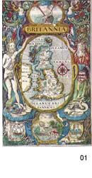
01. Camden's Britannia ,1637
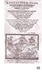
02. Henry Roberts, Lancaster, His Allarums... London
not dated c1600.
coloured titlepage to the two volume Latin edition of Blaue's Atlas
1635
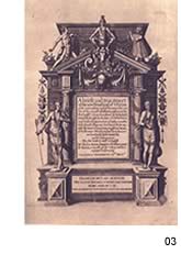
03.Thomas Hariot A brief and true report of
the new found land of Virginia..., De Bry, Frankfurt, 1590.
The first images of America to reach Europe after the English colonisation
of America. The plates were drawn in America by one of the settlers.
04. coloured titlepage to the two volume Latin edition of Blaue's Atlas
1635
05.Capt.John Smith The General Historie of Virginia London
1632
06. Pieter Van den Keere and Pieter Montanus, Germania Inferior,
the first comprehensive map of the Netherlands, published in Amsterdam
in 1617.
|


